

Route of the walk.
Distance 10.9 km
Total ascent 361 m
It was early 2011 and after searching for a walk to do, i came across this one on a site which i have enjoyed and used quite a lot when deciding on my walks. The site is great if you are thinking of going, but are unsure of where to go for a walk http://www.walkingenglishman.com/. Anyway i decided on this walk in Crummockdale as it was full of interest and also the promise of some spectacular scenery.

The starting point
It wasn’t the most promising of sunday mornings, grey skies and a bit of drizzle, but me and Belinda (looking smart in her new walking gear), were looking forward to a good days walking. Drinks and sandwiches made, we set off to our starting point about an hour and a half away. We finally arrived and the weather had improved a bit, grey skies but no rain, although it was a bit nippy. We got booted and suited and once we got our bearings we were off.

Doesn’t she look smart, the jacket has still got the creases in
There was a bit of uphill road walking to do before we got out of the village, but it didn’t take long before the green fields of the dales exposed themselves.

The first glimpse of the beautiful green scenery

First sign of the erratics
It wasn’t long before we came across the erratics at Norber. These are boulders of rock that were swept uphill by an ice age glacier as it moved along Crummockdale and marooned them on the shelf of limestone. The rocks were originally from an outcrop half a mile away and are known as erratics because they are not in their correct geological position.

One of the erratics

Some more
If you look closely, you can see that the erratics have a green lichen growing on the sandstone whereas there is a white lichen growing on the smaller limestone rocks. Anyway enough of the geology lesson, we paused for a while taking in this phenomenon.

They also make great seats

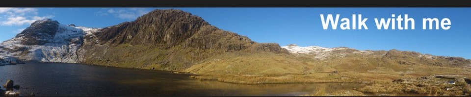
A panoramic view

On the path at Nappa scars
We eventually left the boulder field and headed East towards Nappa scars and after a short time we were on Crummock lane where we would head North for a kilometer before catching the green stuff again.

The source of the Norber erratics
While on Crummock lane we passed the place where the Norber erratics had originated from, its only when i see these features that i begain to understand how things happen over time.

Belinda on the “no expense spared” bridge
We reached the stile that would take us off the road and onto and over the green fields again.

Looking towards Moughton scar
After about a kilometer we had the choice of either heading back or climbing up onto Moughton scar to see the limestone pavement that would give us some great views of Pen y ghent.

Setting off on Moughton lane
Needless to say the promised views of Pen y ghent won and we set off up Moughton lane. It took about half an hour of steady walking/climbing to get to the top of Moughton scar and the views were definately worth the extra time.

Belinda ignoring the views and having a spot of lunch. Bless her….
Whilst Belinda had a spot of lunch, i decided to have a wander round on the limestone pavement and take in some of the breathtaking views.

Not sure but that could be Ingleborough in the far distance
After my little walk on the top it was time to head back down whence we came, on our way down we would look for Moughton whetstone hole which is where springs of clear water emerge from the hill.

Springs of fresh wer appearing from the hill

As fresh as water can be

Back down the green lane

Studrigg scar
Instead of following the lane all the way to Wharfe, we cut across the fields below the impressive Studrigg scar and followed the path that would take us all the way to the small hamlet of Wharfe.

A very weathered tree

My usual catalogue pose

We are not alone

The tiny hamlet called Wharfe
The walk across the fields took about half an hour and we eventually joined the path that lane that took us to Wharfe.

Some of the wildlife

Circular almost complete
After walking through Wharfe, we joined the road that would take us back into the village of Austwick, and the end of an excellent walk. It took just over 4 hours to complete at a very steady pace with plenty of stops for food and time to take in the great scenery. I would recommend this walk too anyone, not too strenuous and plenty of interesting features too see. A guidebook would also be useful too explain the geology of the area.
3 comments
tracey
10 January, 2013 at 4:01 pm (UTC 0) Link to this comment
maybe i could have a shot of that walk if its easy…lol!
cupholderboy
17 February, 2013 at 1:43 pm (UTC 0) Link to this comment
you’re pretty good at this.
paul
18 February, 2013 at 4:16 pm (UTC 0) Link to this comment
Thankyou cupholderboy, you can join me on one of my future excursions if you like….